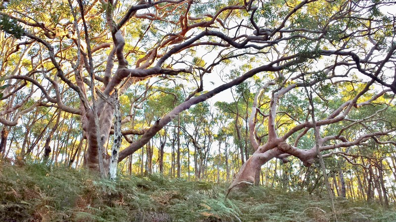
The federal heritage listed Royal National Park is the world’s oldest purpose dedicated National Park.
Upon dedication, in 1879, it was simply named “The National Park”. The “Royal” designation was added after the visit of Queen Elizabeth II in 1954. It is the birthplace of the National Park movement in Australia. If we can’t protect the Royal National Park and if we can’t protect threatened species and ecological communities within National Parks, what can we protect?
VIDEOS:
Bundeena Landscaping and clearing – my comments PART1
Bundeena development approval – my comments PART2
Bundeena recreational facility – my comments PART3
www.springgully.org
The land clearing will significantly impact the dense Bloodwood mallee which has been cited as supporting the scientific justification for a world heritage listing of the Royal. It is habitat to threatened species and supports a local sugar glider population which extensively feed on the sugary sap of the trees that comprise this dense woodland.

There are over 1,500 trees in the before drawing on the left that are missing from the after drawing on the right. Can you find them all? Read about the trick that has been used in the development application to hide the true extent of tree and canopy removal! They only show the tree canopies with trunks larger than 15cm. Trees with trunks smaller than this are just marked with a small brown circle that is almost invisible.


These diagrams substantially misrepresent the amount of existing tree canopy to be removed.
These drawings only show the trees in and around the proposed inner asset protection zone. Hundreds more trees will be cleared in the outer asset protection zone not shown in these drawings.

Detailed data has only been provided for the largest 237 trees to be removed or pruned, including 34 large, mature, potentially hollow bearing, angophoras (important fauna habitat) that will be pruned to leave only 31% of their current canopy. The amount of canopy to be removed from these 237 trees alone is 8,687 square metres. The other 1,300 odd trees to be removed appear on the drawing provided but without details of how much canopy loss they represent.

Many hundreds more trees, possibly another 1,500, will be destroyed in the Outer Asset Protection Zone. An accurate estimate cannot be provided because most of this area has been omitted from the tree removal plan provided (appendix 16). See diagram below for location of outer asset protection zone.

The entire Bloodwood woodland along the top, southern side of the gully will be decimated. Every tree in this dense woodland bears scars from sugar glider feeding. The gliders chew through the soft bark to release the sap below. These unique stands of bloodwood growing in the deep sands at the base of the Jibbon Hill relic cliff dune have been cited as supporting the scientific justification for the world heritage listing of the Royal National Park. They demonstrate scleromorphic adaptation in response to the unique local geomorphology that developed in this area as the sea level began to rise some 10,000 years ago and the coast receded, pushing the relic cliff dunes, including Jibbon Hill, to their present location.
Sutherland Shire Council has recommended the former Scout land be acquired for addition to the Royal National Park.

On 10 November 2014, Council resolved to write to local state and federal parliamentarians asking them to support the acquisition of the former Scout land by the state government for addition to the surrounding Royal National Park.


Leave a Reply